Columbine, Colorado
Census-designated place in Jefferson and Arapahoe counties in Colorado, United StatesColumbine is a census-designated place (CDP) in and governed by Jefferson and Arapahoe counties in Colorado, United States. The CDP is a part of the Denver metropolitan area. Located primarily in Jefferson County, Columbine lies immediately south of Denver. The population of the Columbine CDP was 25,229 at the 2020 census. The community lies in ZIP code 80123.
Read article
Top Questions
AI generatedMore questions
Nearby Places

Columbine High School massacre
1999 mass shooting in Columbine, Colorado, US

Columbine Valley, Colorado
Town in Colorado, United States

Ken Caryl, Colorado
Census Designated Place in Colorado, United States

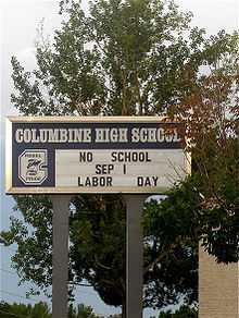
Columbine High School
Public high school in Columbine, Colorado, United States

Littleton–Mineral station
Light rail station in Littleton, Colorado

Southwest Plaza
Shopping mall in Jefferson County, Colorado
1967 PGA Championship
Golf tournament held in 1967

Plum Creek (Douglas County, Colorado)
River in Colorado, United States


